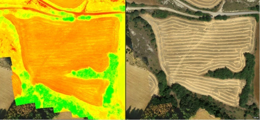
We often hear about its calculation and its importance in crop care. How to define the NDVI index (Normalized Difference Vegetation Index) is calculated using images captured by drones equipped with cameras. multispectral. This index is a quantitative measure that, related to cultivation variables, can be used as an index of health and density of vegetation in a given area.
NDVI calculation
It is based on the difference between the reflectance of near infrared light (NIR) and the reflectance of red light (RED). NDVI can be calculated using the following formula: NDVI = (NIR - RED) / (NIR + RED).
Roughly speaking, the resulting NDVI value varies from -1 to 1, values close to -1 indicate sparse or absent vegetation, such as bare soils or water bodies, values close to 1 indicate dense and healthy vegetation.

Did you know that in Uruguay, the website of the National Institute for Agricultural Research (INIA), has monthly NDVI monitoring?
Utilities
With a more accessible language for your understanding, we can say that the NDVI is widely used in precision agriculture, particularly in crop monitoring as it provides valuable information on plant health, water stress, soil quality and early disease detection.
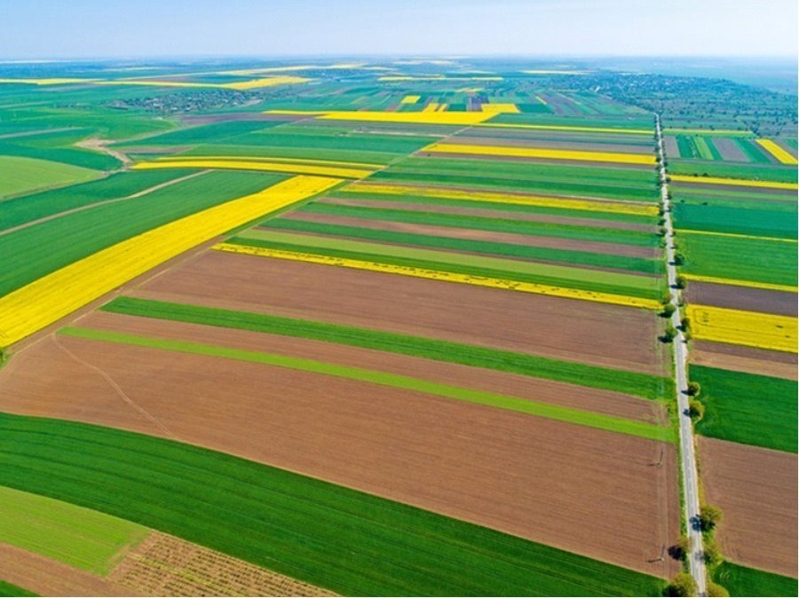
Here again appears one of the many virtues that I mentioned in previous articles, by using drones to capture aerial images, it is possible to carry out a monitoring fast and efficient of large tracts of land, allowing farmers to make informed decisions about the management of their crops.
The NDVI is also used in detecting changes in vegetation over time, which can help identify seasonal patterns, evaluate the success of management practices, and improve efficiency in agricultural production.

In summary, the calculation of the index NDVI in agriculture with drones makes it possible to assess crop health, identify problem areas and optimize farming practices to increase productivity and reduce negative impacts on the environment. And... at very low costs! Therefore, we consider that it is undoubtedly very beneficial.


