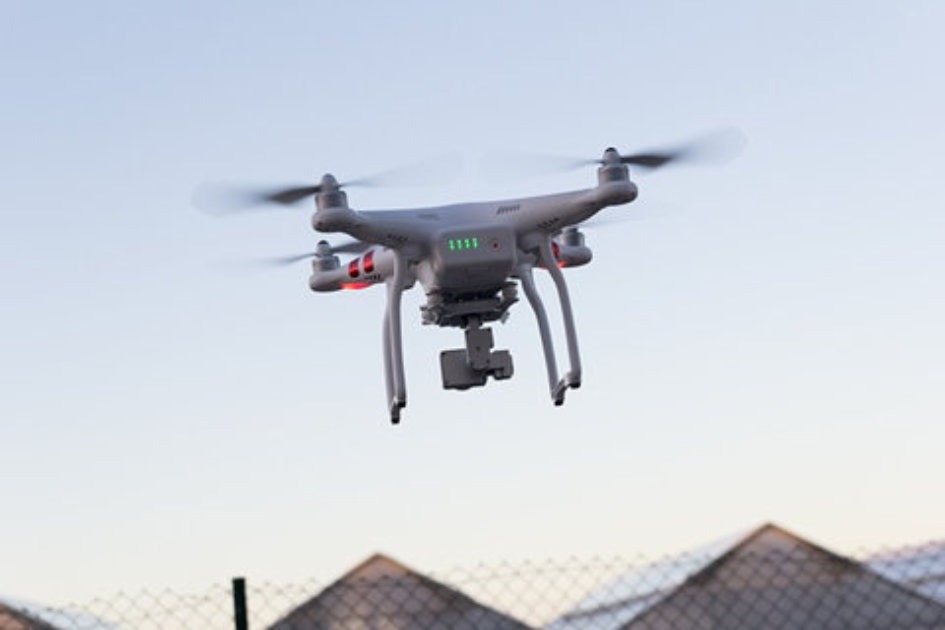
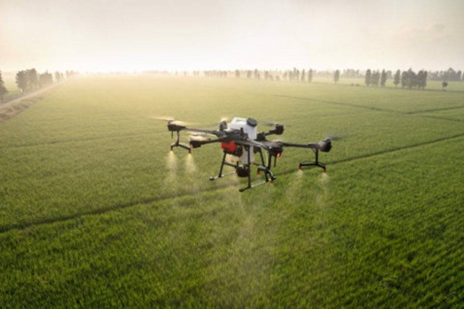
Unmanned aircraft or UAV's have become a highly valued tool in the field of agriculture. Its technology can help enable farmers to gather valuable, real-time information on the conditions of their crops, which contributes significantly to the operational processes in the agricultural activity.
Field work
Drones can fulfill many missions in the agricultural activity, such as land mapping, surveillance and monitoring of planting to prevent and/or control pests or diseases. They can also become a very versatile tool for the application of pest control products.
The surveillance process with a drone has advanced equipment such as detection that allows the use of satellites to monitor not only the crops, but also provide information such as meteorological aspects that are essential for this type of activity.
When it comes to today's cutting-edge technologies, drones also have a wide variety of sensors that contribute to the process of collecting data on the monitored crops. These sensors can include RGB cameras (differentiate damage in a crop area), thermal cameras, multispectral cameras, soil moisture sensors and sensors that take the temperature of the outside air.

All this technological equipment is then used to build crop yield maps, soil moisture maps, vegetation index maps and any other information that can be used as a reference to improve agricultural operations.
How is the process of obtaining and managing data obtained with a drone? In order to obtain all this information, the user will need to have a software The software should either be developed specifically for this purpose or a specialist should be contracted to interpret the information obtained. Normally, these specific software programs should include the tools required to analyze satellite imagery. In addition, platforms intended for agricultural use provide users with data already interpreted for decision making.
Drones and satellites
The joint work between drones and satellites makes it possible to cover those areas or "blind" spots, although each one has a mission to obtain the maximum possible information. In the event that a satellite cannot obtain a clear image due to the presence of clouds that hinder adequate visibility, the drone would enter the scene, since it is ideal for operating in these conditions. However, it should be remembered that upgrading a drone from a technological point of view implies a significant cost, while satellite imaging will always be more accessible to users.
In future articles we will come back to this topic by mentioning other technologies and applications that these wonderful "flying tools" can bring to us.


